
EVERY MINUTE MATTERS. SHARE THE LAST KNOWN LOCATION AND WE’LL SEARCH THE COVER YOU CAN’T SEE FROM THE GROUND.
FAA PART 107 CERTIFIED • DJI MATRICE 4TD • NORTHWEST ARKANSAS
THERMAL DRONE DEER RECOVERY IN NORTHWEST ARKANSAS
CHOOSE THE RIGHT THERMAL DRONE SERVICE
Deer recovery from $450 • Pet recovery from $225 • Herd surveying by quote.
Thermal Deer Recovery in Northwest Arkansas
Fast, professional aerial search using DJI Matrice 4TD thermal imaging. Share the last known location, time, direction of travel, terrain, weather, and any blood or sign observed.
Pricing:
• $450 base fee includes up to 2 hours of aerial search
• $100 success fee if the deer is located
• $100 per additional search hour
• Travel includes 30 miles from Cave Springs, Arkansas; $1 per additional mile
Call 479-903-6464 for a time-sensitive recovery.
Thermal Pet Recovery in Northwest Arkansas
Fast aerial thermal search for missing dogs, cats, and other animals using the DJI Matrice 4TD. Share the last known location, time, direction of travel, terrain, and animal description.
Pricing:
• $225 local recovery includes up to 1 hour of airborne search time
• $100 per additional search hour
• 15 miles of travel included; $1 per mile beyond 15 miles
• $150 after-hours emergency surcharge from 10 p.m. to 6 a.m.
Call 479-903-6464 for a time-sensitive missing-pet search.
Thermal Deer Herd Surveying in Northwest Arkansas
Professional aerial herd surveys using DJI Matrice 4TD thermal imaging and laser rangefinding to support deer population estimates, buck-to-doe ratios, and geotagged observations. Results depend on terrain, weather, canopy, and animal movement.
Custom quotes are available for landowners, hunting clubs, and wildlife managers. Call 479-903-6464 to discuss acreage, location, timing, and survey goals.
 ELEVATED DRONE NWA™THERMAL ABOVE. ANSWERS BELOW.™
ELEVATED DRONE NWA™ · NORTHWEST ARKANSAS
THERMALABOVE.ANSWERSBELOW.™
FINDMYBUCK.COM™WHEN THE TRAIL GOES COLD, WE FIND THE HEAT.™
Can’t find your deer? Every minute matters. Share the last known location and we’ll search the cover you can’t see from the ground.
- FAA Part 107 certified
- DJI Matrice 4TD
- Cave Springs, Arkansas
See the search from above
Thermal vision changes the terrain.
Dense cover, fading light, and difficult ground can hide what an enterprise thermal camera reveals in seconds.
Start your search · 479-903-6464 →Services & pricing
Choose the right thermal drone service.
Deer recovery from $450 • Pet recovery from $225 • Herd surveying by quote.
01 · Time-sensitive search
Thermal Deer Recovery
Base fee$450
WHEN THE TRAIL GOES COLD, WE FIND THE HEAT.™
Fast, professional aerial search using DJI Matrice 4TD thermal imaging. Share the last known location, time, direction of travel, terrain, weather, and any blood or sign observed.
- $450 base fee includes up to 2 hours of aerial search
- $100 success fee if the deer is located
- $100 per additional search hour
- Travel includes 30 miles from Cave Springs, Arkansas; $1 per additional mile
02 · Missing animal search
Thermal Pet Recovery
Local recovery$225
WHEN THE TRAIL GOES COLD, WE FIND THE HEAT.™
Fast aerial thermal search for missing dogs, cats, and other animals using the DJI Matrice 4TD. Share the last known location, time, direction of travel, terrain, and animal description.
- $225 local recovery includes up to 1 hour of airborne search time
- $100 per additional search hour
- 15 miles of travel included; $1 per mile beyond 15 miles
- $150 after-hours emergency surcharge from 10 p.m. to 6 a.m.
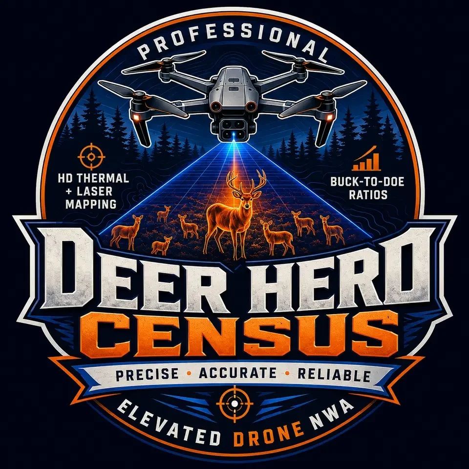
03 · Wildlife intelligence
Thermal Deer Herd Surveying
PricingCustom quote
HEAT REVEALS. DATA DECIDES.™
Professional aerial herd surveys using DJI Matrice 4TD thermal imaging and laser rangefinding to support deer population estimates, buck-to-doe ratios, and geotagged observations. Results depend on terrain, weather, canopy, and animal movement.
Custom quotes are available for landowners, hunting clubs, and wildlife managers. Call to discuss acreage, location, timing, and survey goals.
View herd surveying service →Before you call
Send the details that sharpen the search.
- 01Last known locationDrop a pin or share the closest access point.
- 02Time & directionWhen and where the animal was last moving.
- 03Terrain & weatherCover, slope, water, wind, and recent conditions.
- 04Blood or signDescribe what you found before the trail went cold.
FINDMYBUCK.COM™ · START YOUR SEARCH NOW
WHEN THE TRAIL GOES COLD, WE FIND THE HEAT.™
Tell us what happened, where the animal was last seen, and how to reach you. For urgent deer recovery, call 479-903-6464.
- Location
- Cave Springs, AR 72718
- Follow
- YouTube ↗
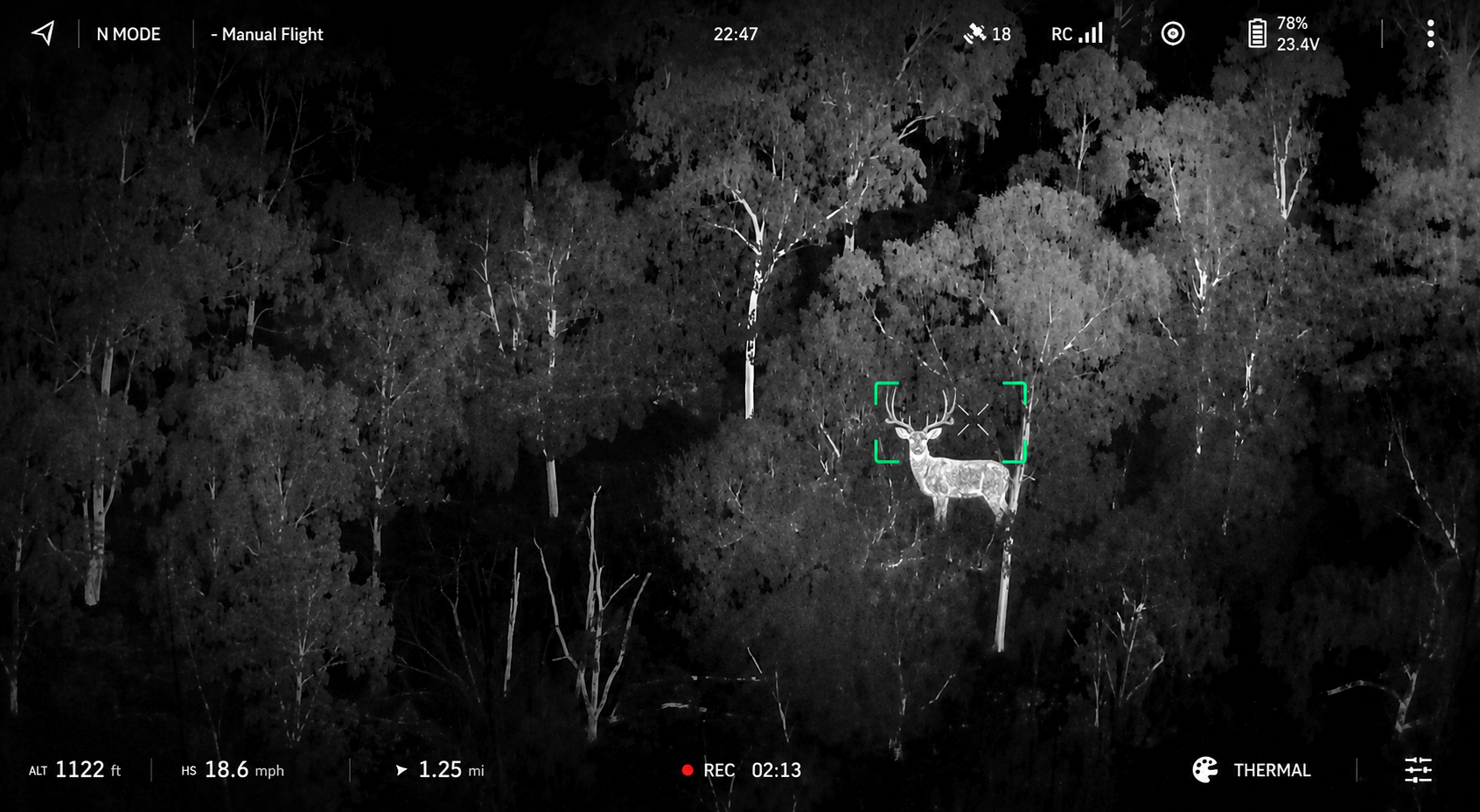
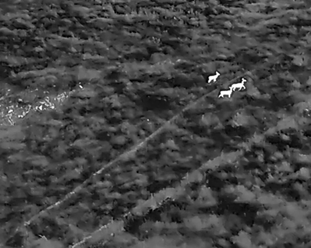
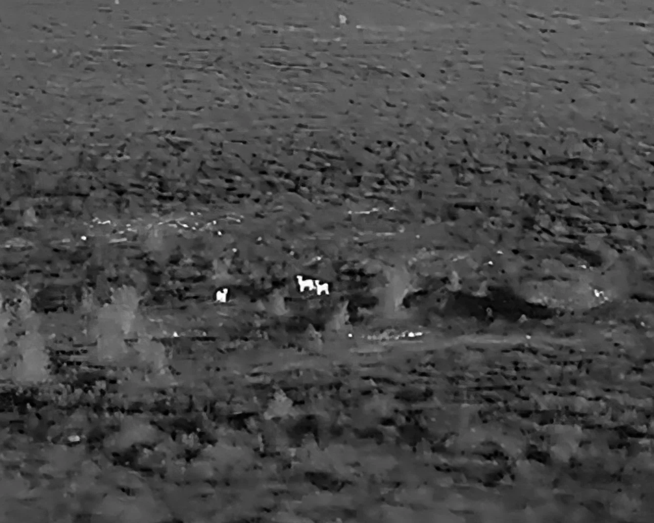
SEE WHAT THE THERMAL CAMERA SEES
Real thermal imagery. Enterprise optics. Clear guidance from the air to the ground.
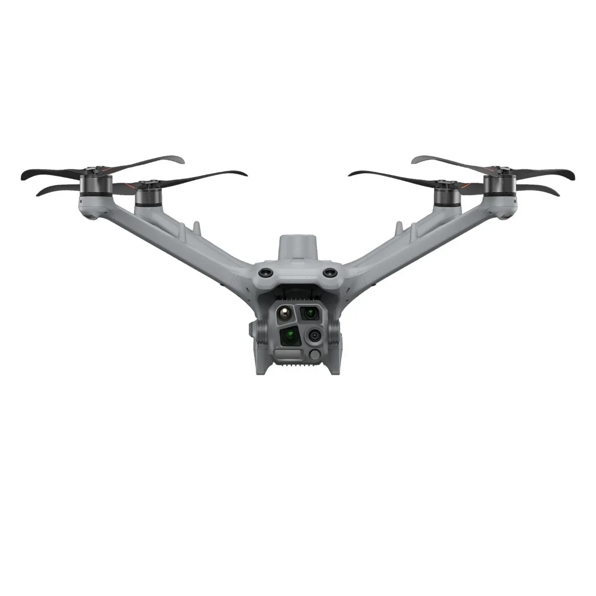
WATCH THE SEARCH FROM THE AIR
Thermal imaging locates the heat. Enterprise zoom confirms the target.
START YOUR SEARCH NOW
Tell us what happened, where the animal was last seen, and how to reach you. For urgent deer recovery, call 479-903-6464.